Rambles/hikes
You will find many great options for hikes and rambles both in and around Vingelen.
If a mountain hike doesn’t appeal, then how about a stroll between Vingelen’s sun-scorched wooden houses? Start your walk at Bunåva and head on up towards Vingelsgaards Gjestgiveri (guesthouse). This will take you past several fine farmsteads, including Ousta and you can return to the centre via the museum and the church. The path follows gravel roads, suitable for everyone, and there are information boards along the way.
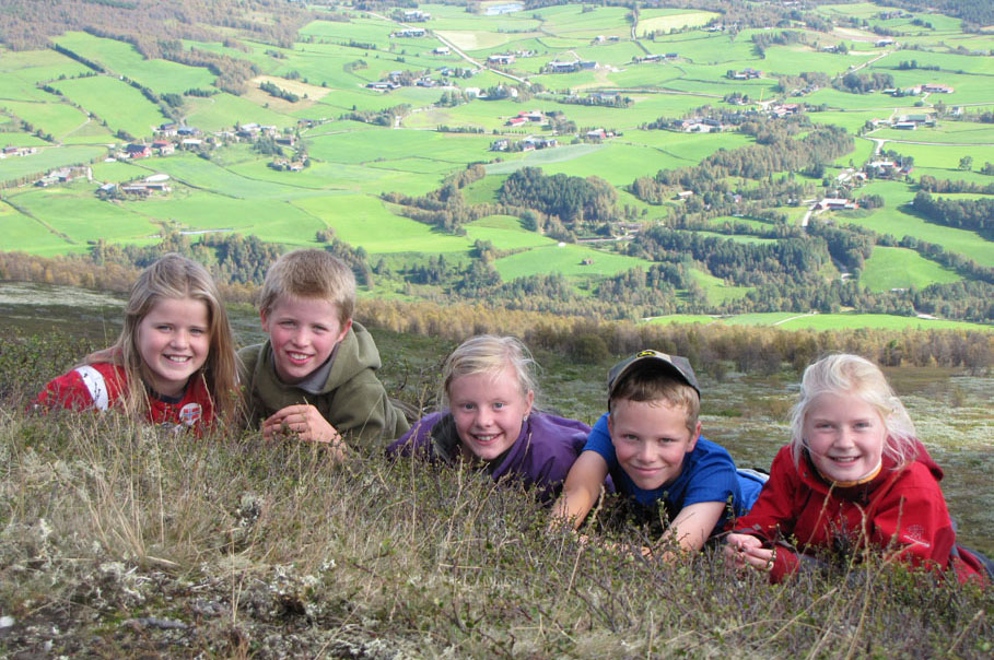
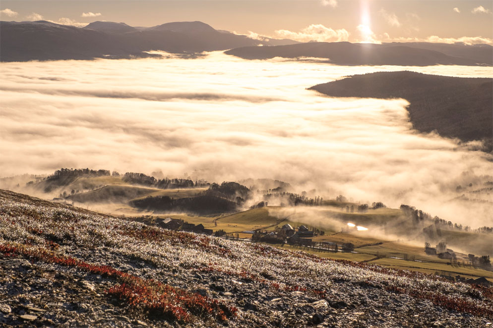
There are also several trails marked in the beautiful mountainscapes of Vingelen. One such, is a pleasant 2,5 km hike from Aasgårdsvollen up to Nonsvola (1089 metres above sea level) suitable for the whole family, and from which a further trail is marked, leading to Skardstjønn (lake).
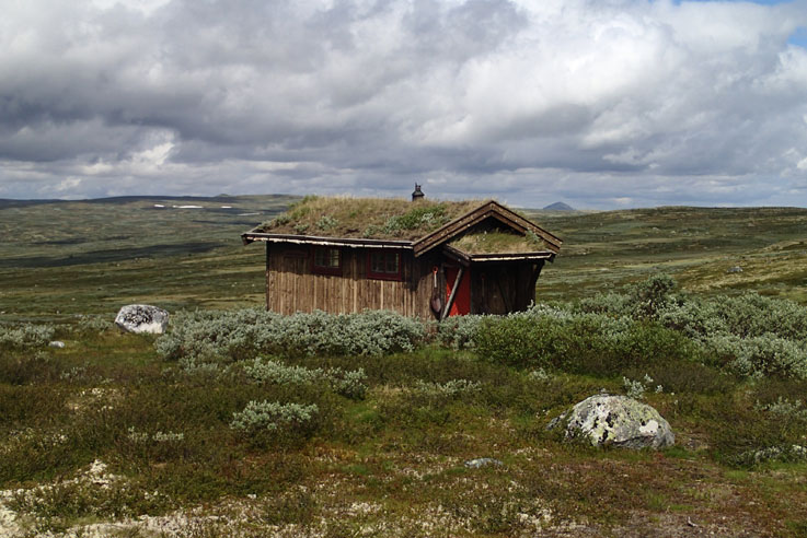
From the road near the Knausvola cabins (follow the road from the village centre towards the Ski Chalet-Skihytta) there’s an easy walk in flat terrain to Gruvola and Kletten (1039 m.a.s.l.). In addition, there are many great possibilities for hiking in and around the mountain farm areas. From Tollevshågåvollen in Svartåsen trails are marked, among others, to Koversjøen and further on to Gjersjøen (lakes), and from Simasvollen in Ørvilldalen, there’s a path to the summit of Hølrabben 1032 m.a.s.l.).
It might be a good idea to buy the map “Kjentmann for Vingelen” (Local map of Vingelen) before heading off for the mountain pastures. You can get it at the local shop.